


द्रोण - 1 SUPER TET Offline Cum Online batch ORAI Branch
28 July, 2026


Enter your Email ID and we'll send you a link to get back into your account.

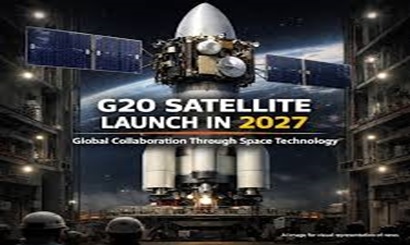

G20 Satellite Mission
Sun 19 Apr, 2026
Introduction
Context
Climate change, extreme weather events, and rising air pollution levels have become pressing global concerns. While individual nations operate their own satellites, data fragmentation and lack of coordination remain major challenges.
The proposed G20 satellite aims to:
This initiative aligns with India’s leadership during the G20 presidency, emphasizing sustainable development and climate action.
Key Features of the G20 Satellite
1. Multilateral Collaboration
2. Core Objectives
The satellite is designed to monitor:
3. Data Sharing Mechanism
4. Technological Significance
Scientific Concepts Explained
1. Remote Sensing
The science of collecting information about Earth’s surface using satellites without direct contact. It helps in monitoring forests, oceans, and atmosphere.
2. Aerosols
Tiny particles suspended in the atmosphere that affect air quality and climate (e.g., dust, smoke, pollutants).
3. Greenhouse Gases (GHGs)
Gases like CO₂ and methane that trap heat in the atmosphere, leading to global warming.
4. Weather vs Climate
Weather → Short-term atmospheric conditions
Climate → Long-term patterns over decades
Significance
1. Global Environmental Governance
2. India’s Strategic Role
3. Technological Advancement
4. Benefits for Developing Nations
Challenges
Way Forward
About ISRO
| Organisation | Indian Space Research Organisation (ISRO) |
| Established | 1969 |
| Headquarters | Bengaluru |
| Parent Body | Department of Space |
| Founder | Dr. Vikram Sarabhai |
| Major Launch Vehicles | PSLV, GSLV, LVM3 |
| Key Missions | Chandrayaan, Mangalyaan, NavIC |
| Role | Space research, satellite launch, Earth observation |
Conclusion
28 July, 2026
27 July, 2026
22 July, 2026
20 July, 2026
26 May, 2026
08 May, 2026
20 April, 2026
01 April, 2026
01 April, 2026
16 March, 2026
